Foxcontractservices
New Member
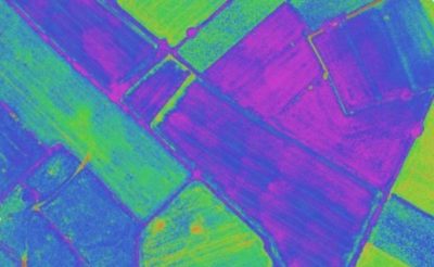
Hi everyone,I'm new to the forum and based in the UK. I was recently asked if I am able to determine soil quality to help create valuable rate fertilizer spreading maps. Anyone here know if I can achieve, albeit basic, maps with my multispectral drone?